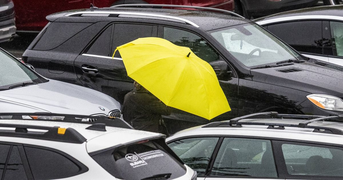
Get those waterproof jackets out of the closet: Rain, rain and more rain is on the way this week.
Heavy precipitation is expected in the Seattle area from Sunday evening into Wednesday morning, with up to an inch of total rainfall projected.
A “parade of systems” will roll through Western Washington, bringing with them the most rain we’ve seen since the spring, National Weather Service meteorologist Jeff Michalski said.
“This is a pattern change compared to the dry, mild, sunny weather we had last week,” Michalski said. “This week’s a different story with more fall-like weather.”
High temperatures are forecast in the low 60s most days this week — about five degrees lower than average for late September.
Seattle also will see heavy winds and a chance of thunderstorms from Sunday night into Tuesday.
The rain could cause ponding on roadways or minor urban flooding, especially if storm drains aren’t clear, Michalski said. Rivers will rise but aren’t expected to flood.
The rain could bring some relief to a region that’s experienced a drier than usual summer. Last week, Seattle Public Utilities issued a rare plea that customers use less water as Washington sinks deeper into drought.
The watersheds that feed SPU reservoirs typically see as many as 26 inches of rain between May and September, said Alex Chen, director of SPU’s drinking water division. This year they’ve seen 7 or 8 inches.
Nearly 10% of the state is in “extreme” drought and more than 43% is experiencing “severe drought,” according to the latest data from the U.S. Drought Monitor.


